


Le Fai - Lac de Peyssier

kurt-vh
User
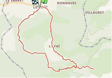

Length
11.7 km

Max alt
1316 m

Uphill gradient
553 m
Km-Effort
19.1 km

Min alt
810 m

Downhill gradient
561 m
Boucle
Yes
Creation date :
2019-07-11 10:27:05.847
Updated on :
2023-02-11 16:37:37.594
1h44
Difficulty : Easy

FREE GPS app for hiking
 SityTrail
IGN / Geographical institutes
SityTrail Plus
The world is yours!
About
Trail Walking of 11.7 km to be discovered at Provence-Alpes-Côte d'Azur, Hautes-Alpes, Le Saix. This trail is proposed by kurt-vh.
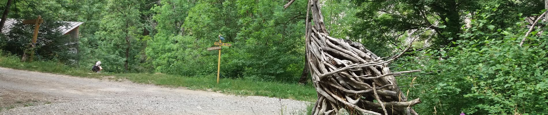
Photos


24 photos in total. Please click on a photo to see them all in the gallery.
Positioning
Country:
France
Region :
Provence-Alpes-Côte d'Azur
Department/Province :
Hautes-Alpes
Municipality :
Le Saix
Location:
Unknown
Start:(Dec)
Start:(UTM)
724534 ; 4928486 (31T) N.
Comments